It was a warm and dry start to Monday with temperatures in the upper 70s across Miami-Dade and Broward.
Highs will soar to the low to mid-90s in the afternoon and it will feel like the triple digits when the humidity is factored in.
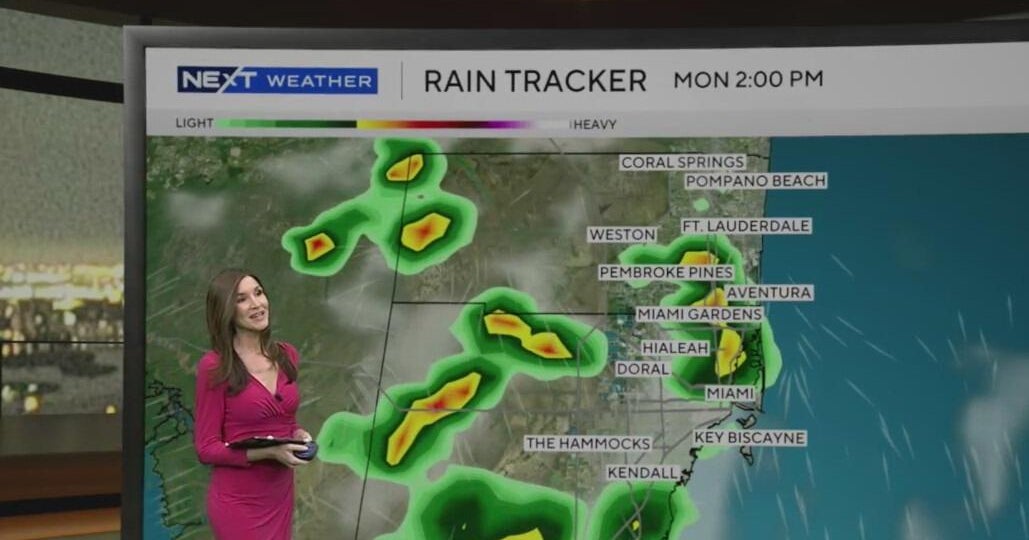
After a fairly quiet start, scattered storms will develop in the afternoon and taper off by the evening.
There is a moderate risk of rip currents along the Atlantic beaches and the UV index is extreme. There are no alerts or advisories for boaters over the Atlantic and Florida Keys waters.
On Tuesday, expect a dry start with passing storms developing in the afternoon. As the winds begin to shift more out of the east, it will not be as hot. Highs will be closer to normal, around 90 degrees, and it will feel like the upper 90s and low 100s when the humidity is factored in.
Mid to late week, the onshore breeze stays and temperatures will be seasonably hot with highs near 90 degrees. As a frontal boundary stalls out to the north, typical summertime scattered storms will develop each day.
The chance of rain rises for the weekend as the frontal boundary approaches Lake Okeechobee and increases moisture across South Florida. The National Weather Service sais rain chances further increase as several upper level disturbances cross the region providing additional support for precipitation this weekend.


