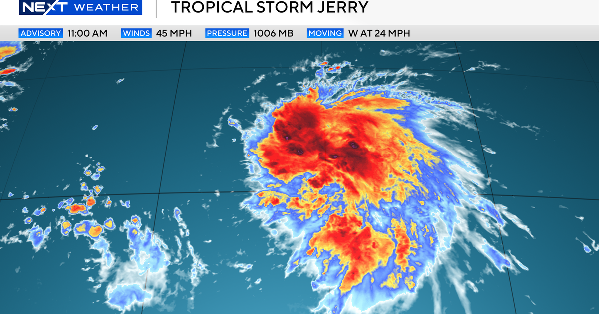
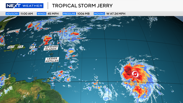
The area being monitored by the National Hurricane Center, 1000 miles east of the Windward Islands, became Tropical Storm Jerry Tuesday morning.
Thunderstorms continue to organize around a storm center with estimated sustained winds of 45 mph.
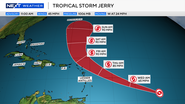
Jerry is expected to continue moving west-northwest over the next few days toward or just north of the Leeward Islands.
Over the weekend, a turn to the north is forecast, which will take Jerry north toward Bermuda, with a turn to the northeast expected after that. By the time the storm reaches the northern Leeward Islands, it is forecast to be a hurricane with wind speeds of 85 to 90 mph.
Even though the storm may pass north of the islands, there will still be a risk of strong winds, surf and potential heavy rain.
As the storm nears Bermuda, the swells moving out from the storm may cause rough surf and rip currents along portions of the Eastern U.S. and Canadian coastlines.
The NEXT Weather Team will continue to monitor the latest advisories on Jerry and update the track as needed.


