A sizzling weekend ahead with scattered storms likely in the afternoons.
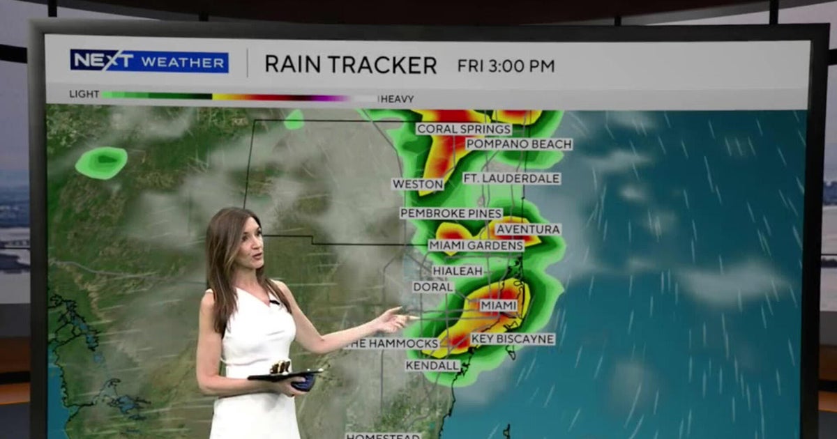
Friday morning got off to a dry start, but rain will roll in during the afternoon.
Highs will soar to the low-to-mid 90s and it will feel like the upper 90s and triple digits. The heating of the day will help fuel thunderstorms that could produce heavy downpours, lightning and gusty winds.
Wildfire smoke impacts Broward
As the wildfire continues to burn in western Broward, some smoke will be around Friday due to the westerly winds. Although most of the smoke will be mainly steered towards Broward County, some of it may drift south into parts of Miami-Dade. The air quality is moderate across portions of Broward and good across the rest of South Florida.
Skies will be hazy at times due to the smoke. Later in the evening, winds will begin to move out of the east. That onshore flow will help steer smoke towards the Everglades and further west.
Erin’s indirect impact on South Florida beaches
As Hurricane Erin races northeastward away from the U.S., the rough surf and higher risk of rip currents will continue along the east coast. It is not safe to go swimming in the ocean on Friday or Saturday. Conditions should begin to improve Sunday.
There are no alerts or advisories for boaters on Friday along the Atlantic or Florida Keys waters.
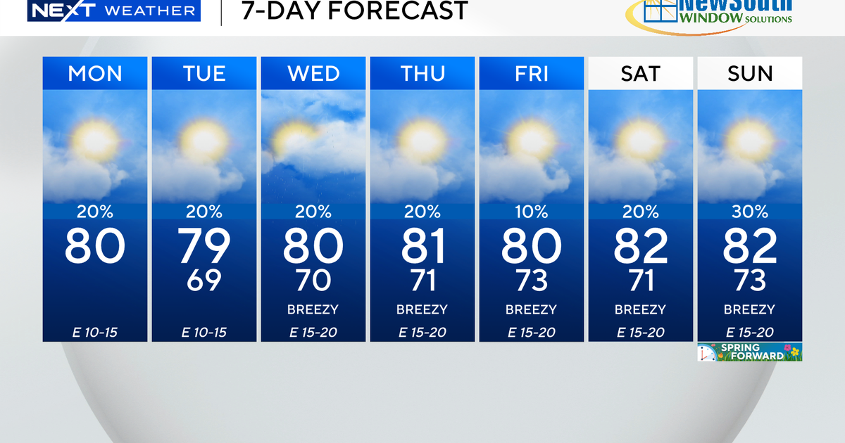
It will be a case of “rinse and repeat” on Saturday and Sunday as the unsettled pattern continues. The mornings look mainly dry but scattered storms will develop in the afternoons and evenings. Highs will remain above average, in the low-to-mid 90s, and heat indices will soar to the 100s when the humidity is factored in.
The chance of rain decreases early next week, but spotty storms will be possible on Monday and Tuesday. Temperatures will be closer to normal by the middle of next week as the east breeze returns.


