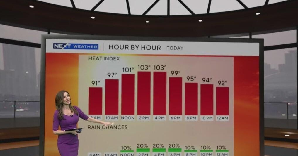
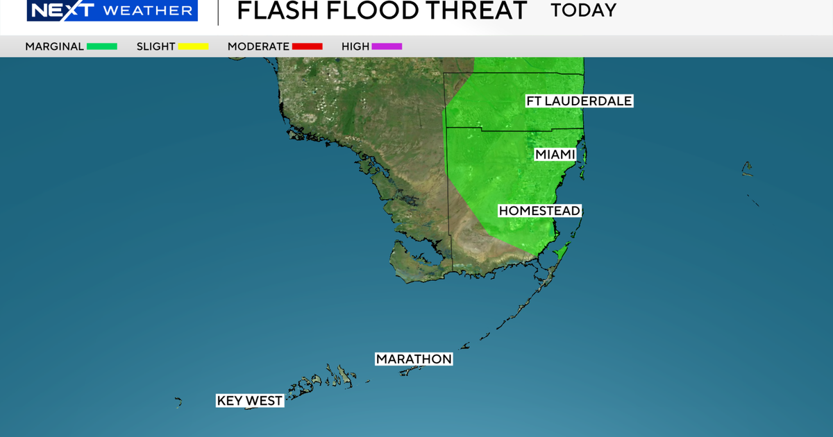
South Florida kicked off the new work with a warm and muggy morning as temperatures hovered in the low to mid 80s. Highs will climb to the low 90s in the afternoon. It will feel like the triple-digits when the humidity is factored in. The chance of rain is low but spotty showers are possible this afternoon.
There is a low risk of rip currents along the Atlantic beaches on Monday. The risk of rip currents is forecast to increase over the next few days due to rougher surf and large swells that are expected as Hurricane Erin passes to the east. Wave heights could reach 2 to 4 feet along the Atlantic beaches by mid to late week.
Keys waters.
On Tuesday, Erin will continue to lift northward and is forecast to make its closest pass to the peninsula to the east. The wind will veer more out of the north. A few coastal showers will be possible during the morning hours and then scattered storms will develop in the afternoon and evening. Highs will rise to the low 90s and it will feel like the 100s when you factor in the humidity.
The chance of rain increases mid to late week with scattered storms around every day. It will be slightly hotter, with highs around 93 degrees. The National Weather Service may issue heat advisories if heat indices reach 105 degrees for 2 hours or more.
For the upcoming weekend, the chance of rain isn’t high but some passing storms will be possible on Saturday and Sunday.


