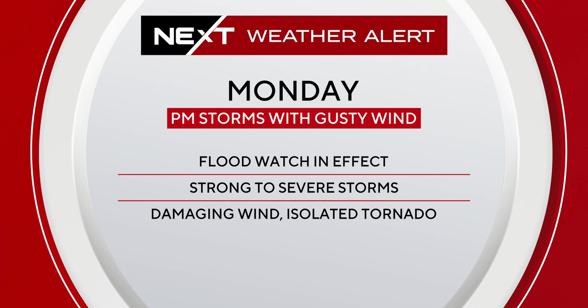
South Florida is under a NEXT Weather Alert on Monday as a powerful line of strong to severe storms threatens to drench the region with up to 6 inches of rain, gusty winds and the risk of isolated tornadoes.
The National Weather Service has issued a flood watch beginning early Monday morning, with storms expected to reach the Florida Keys by 6 a.m. and the East Coast metro areas by around 8 a.m.
The most intense period of storms is expected between 8 a.m. and 10 a.m., moving west to east through the region.
The NEXT Weather team warns of very heavy rainfall rates, which could cause roadways to flood quickly. Gusty winds may lead to localized damage, and there’s also the chance that a brief tornado could spin up as the storms roll through. Officials are urging drivers to stay off flooded roads and to monitor alerts throughout the day.
More storms possible Monday afternoon and evening
A brief lull in activity may arrive by midday as the initial line of storms moves offshore. However, the atmosphere could recharge during the afternoon, with more scattered showers and storms possible between noon and 3 p.m. If enough sunshine breaks through, new storms may redevelop in the late afternoon and evening hours.
The flood risk will remain elevated through the evening, particularly in areas already soaked by morning rainfall. Storms are forecast to taper off late Monday night, with only isolated showers expected into Tuesday morning.
The NEXT Weather Alert is expected to expire early Tuesday as drier air arrives, reducing rain chances and bringing more stable weather conditions through the remainder of the week.


