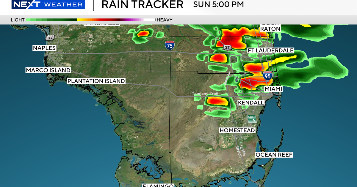
Sunday and Monday will be NEXT Weather Alert days as strong-to-severe storms are expected to develop each afternoon.
These storms may contain gusty winds and small hail and have the potential to produce brief, minor flooding in and around the heavier downpours.
As temperatures warm up at the surface, storms will develop rapidly over the interior early Sunday and Monday afternoon. They will drift back east across the metro areas, so watch the western sky for any developing storm that may threaten your area.
CBS News Miami
Stay alert for severe thunderstorm warnings, which mean a storm with strong winds and-or hail is about to impact your area. Prepare to take shelter immediately, should you find yourself in a warned area.
The severe drought and lack of rainfall will allow the ground to handle heavy rain; however, brief heavy downpours may lead to minor street flooding that will not last long.
The potential for tornadoes remains low but not zero. As the sea breeze moves inland and storms interact with each other, a brief tornado is possible. The highest threats with these storms over the next two days will be strong winds and hail.
Stay alert to the NEXT Weather team for updates and warnings should they be issued with the storms over the next two days.


