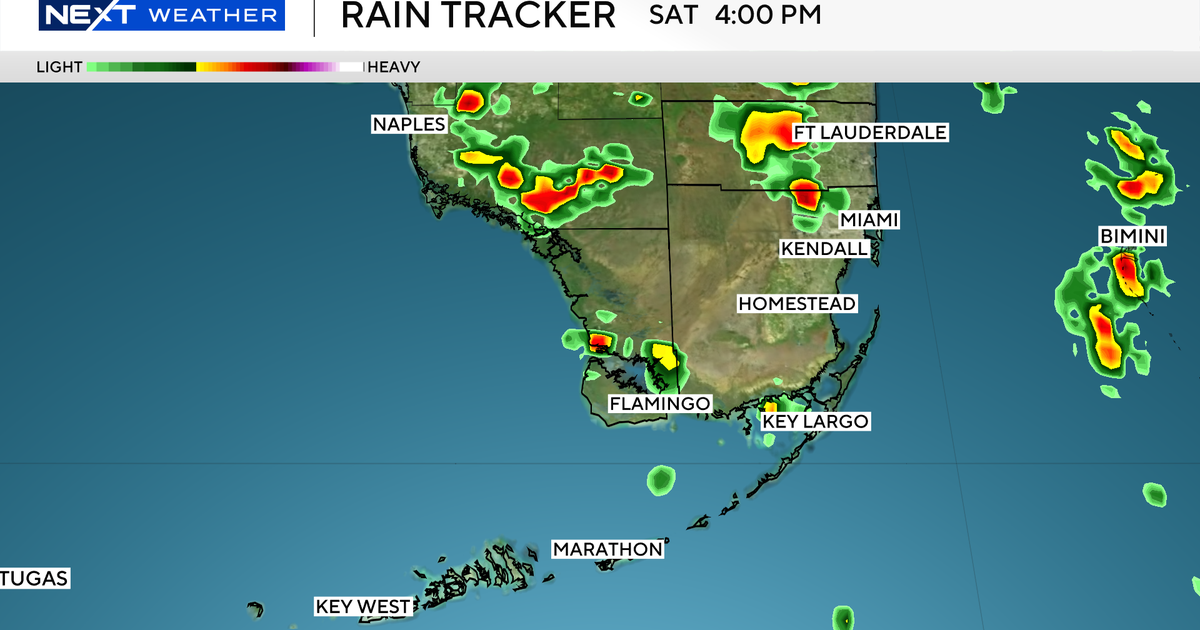
The NEXT Weather Team is tracking both Saturday afternoon storms and two systems in the Tropics.
Strong storms will pop up across both Broward and Miami-Dade Counties on Saturday at approximately 3 p.m. The storms will last through the early evening but will clear out in time for date night.
We are also tracking the Tropics, as Hurricane Humberto is expected to increase to a Category 5 storm and then weaken before impacting Bermuda mid-week.
Potential Tropical Cyclone Nine was upgraded to Tropical Depression Nine on Saturday. It will roll through the Bahamas on Sunday and drop a lot of rain before emerging into the Atlantic and becoming a Hurricane early next week.
The system is forecast to stay off the coast of Florida. New spaghetti models show the storm curving out to the Atlantic and not making landfall in the Carolinas.
As it moves past Florida, the storm’s outer bands will drop a few inches of rain on Sunday and Monday. The heaviest rains will fall in the Carolinas where flash flooding is expected.


