
The NEXT Weather team has issued a NEXT Weather Alert Day for Sunday and Monday.
A lingering frontal boundary, deep tropical moisture and a few disturbances passing over South Florida will continue the threat for severe weather and also introduce the threat of flooding beginning Sunday.
CBS News Miami 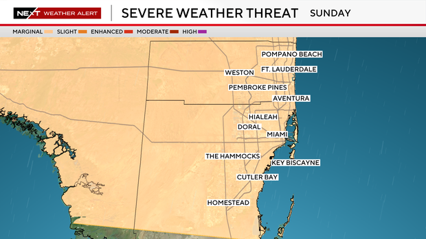
On Sunday, showers and storms will start much earlier than they did on Saturday, with the onset beginning in Broward County as early as 8 am. Showers and storms will become more numerous, and some embedded thunderstorms will be capable of producing isolated damaging wind gusts along with heavy rain.
Sunday will also mark the beginning of a multi-day threat for heavy rain and flash flooding. As a result, yet another NEXT Weather Alert Day will be reissued for Monday. While the damaging wind threat diminishes on Monday, the potential for flash flooding will continue to increase.
The tropical atmospheric moisture available will allow for storms to become very efficient rainmakers. Rainfall rates of 1-3 inches an hour will be possible.
Depending on how much rain falls in the next 48 hours, the flood threat may extend through midweek and additional NEXT Weather Alert Days may be necessary.
CBS News Miami 
Totals through midweek will range from 2 to 5 inches with some areas seeing half a foot or more.


