MIAMI – Expect another breezy day on Monday with quick, passing showers coming in off the Atlantic. Afternoon highs will warm into the middle 80s under a partly sunny sky.
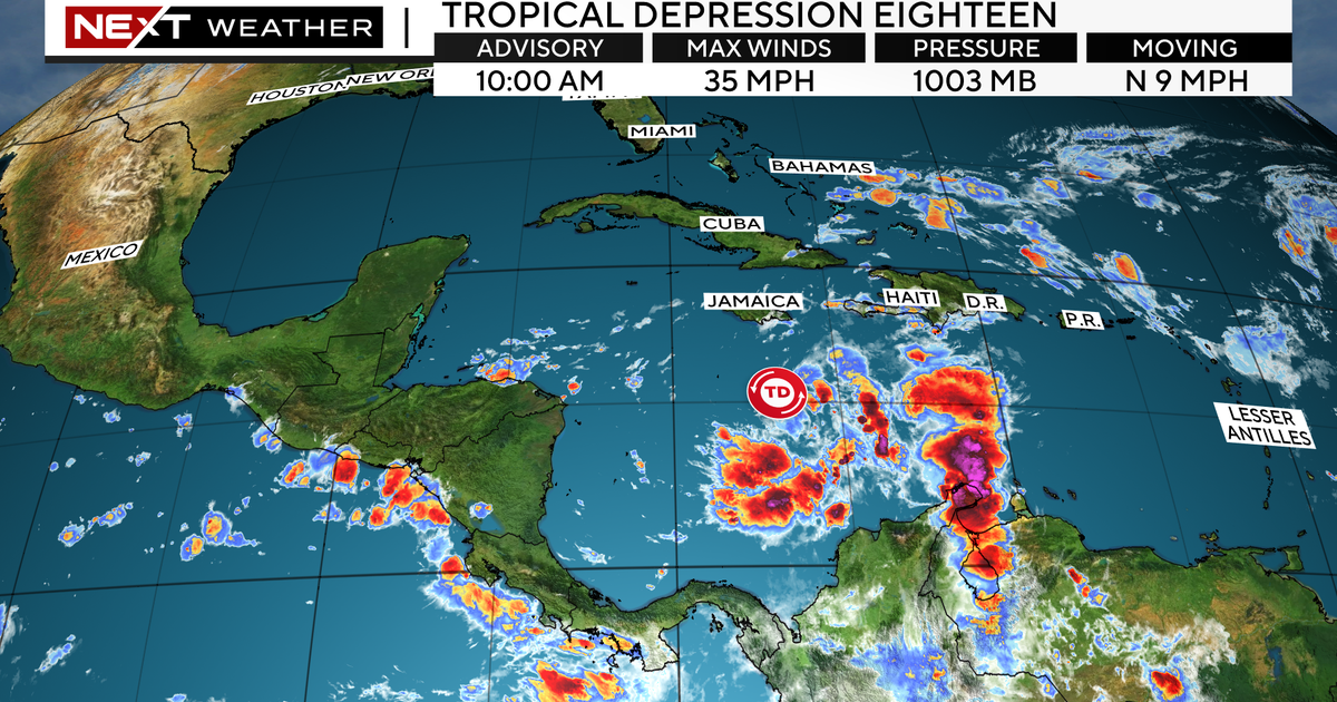
On Tuesday, all eyes will shift to soon-to-be Rafael in the Caribbean, which will bring some fringe impacts to South Florida on Tuesday and Wednesday. Tropical Depression 18 has formed in the Caribbean as of the National Hurricane Center’s 10 a.m. advisory. It is forecast to become Tropical Storm Rafael over the next 12 hours, then strengthen into a Category 1 hurricane by Wednesday morning before moving over western Cuba, and then into the Gulf of Mexico Wednesday night.
The latest forecast cone from the National Hurricane Center has it making landfall as a strong tropical storm anywhere from the coast of Louisiana to the far western Florida Panhandle sometime Friday night into Saturday.
While there is a high amount of uncertainty regarding the track once it reaches the Gulf of Mexico, we are certain that the worst of the weather with future Rafael will stay well to the west of South Florida. We will still feel some impacts however, which include squally bands of rain and storms, gusty winds, and the potential for some minor coastal flooding across the lower Keys Tuesday into Wednesday.
By Thursday, rain chances will lower as Rafael moves farther away from us and winds will begin to decrease. Expect improvements by the end of the work week.


