
MIAMI – Another warm day for South Florida before the first of two fronts arrives, bringing drier and cooler air to the region.
As of Friday morning, the front was still north over the central peninsula and slowly moving south. A broken line of showers was seen on the NEXT Weather radar network from Tampa east through Orlando. These showers will move south throughout the day and eventually lead to an increased chance of rain for South Florida. The chance of rain remains low overnight Friday and early Saturday. Temperatures will peak in the middle 80s before dropping into the middle 60s overnight.
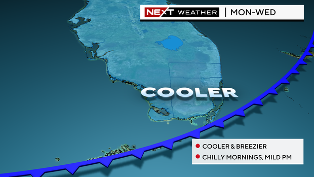
On Saturday and Sunday, a stray shower can’t be ruled out before the much anticipated drier and cooler air arrives Sunday night. High temperatures will be right near 80 degrees with partly cloudy skies and a drier breeze.
NEXT Weather
The cooler air moves in overnight Sunday with lows dropping into the upper 60s and eventually the 50s by Tuesday morning. Low humidity and mostly sunny skies will make for pleasant afternoons but expect the temperatures to fall quickly each night after sunset.
Saturday marks the end of the Atlantic Hurricane Season. There is no activity expected for the remainder of the season which will end with 18 named storms, 11 hurricanes, 5 of which were major storms.


