MIAMI (CBSMiami) — Record-breaking high temperatures are expected Saturday afternoon across South Florida.
The record high in Miami is 87 degrees and the CBS4 Weather Team is forecasting a high of 89 on Saturday which will break the record last set in 2014.
READ MORE: Police Involved Shooting In NW Miami Dade
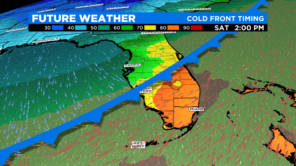
All this heat is happening before a strong cold front arrives in South Florida. The front will march southward across North and Central Florida with a band of heavy rain and storms early half of Saturday.
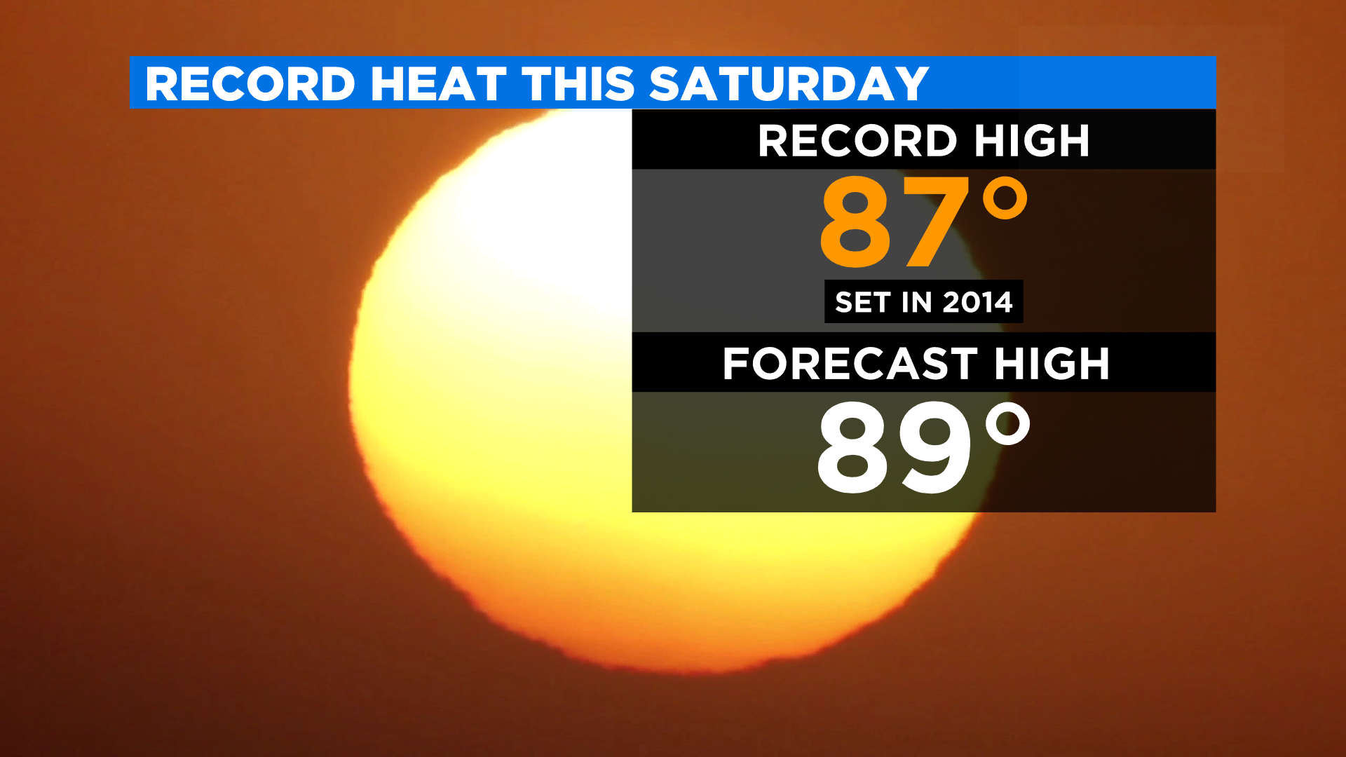
Record high temperature for this Saturday in Miami is 87 set in 2014. This Saturday’s forecast high is 89. (CBS4)
This band will weaken by the time it arrives in our area late Saturday afternoon and evening. So we can expect only spotty showers during those hours.
The cold front will clear fast from South Florida and temperatures will plummet from near 90 degrees on Saturday afternoon to the 50s on Sunday morning.
READ MORE: School Teachers Fly To Poland Bringing Baby Formula, Blankets, Much Needed Supplies
As the cold front passes through on Saturday, the winds are expected to become breezy with gusts up 25 mph.
Gusty winds are expected to last throughout Sunday as the winds turn from the north to northeast in the afternoon. Then, the northeast wind will help bring back more clouds and a few drizzles in the afternoon and evening on Sunday.
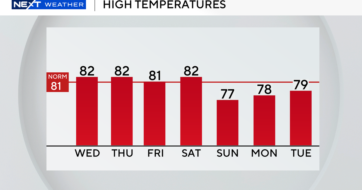
After waking up in the chilly low to mid 50s on Sunday morning, South Florida’s afternoon temperatures on Sunday will be below average with highs in the low to mid-70s.
MORE NEWS: Coconut Creek Middle School Students Charged In Race Related Attacks
The chilly air does not stick around because, by Monday, temperatures will rebound to the low 80s and continue to climb each day in the new week. The mid-80s will return to the forecast by mid-week with the chance for spotty showers.
